By Bybee + Co Realty LLC
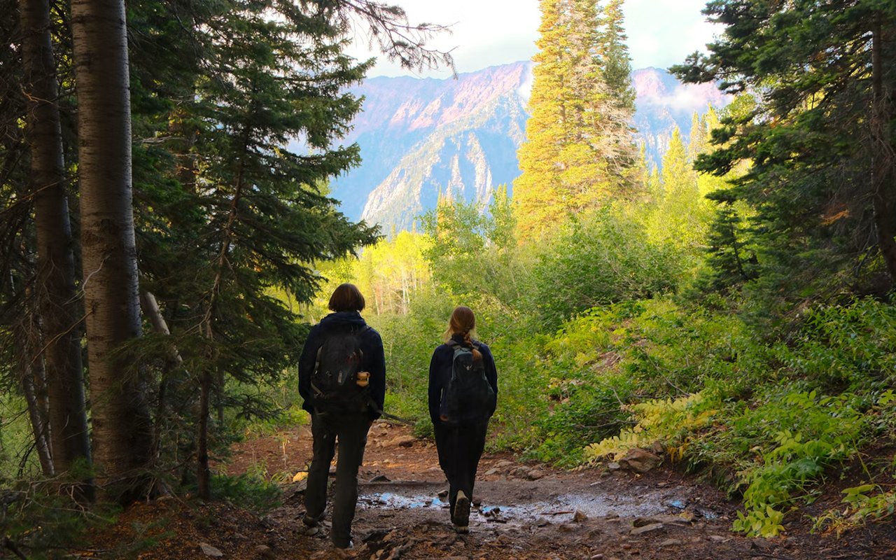
Few Utah County towns put a paved river path, a canyon trail, and a 10,000-foot peak this close together. At Bybee + Co Realty LLC, we hear from longtime neighbors and newcomers alike that easy access to the outdoors shapes how they live. The routes below come from trail databases, the Forest Service, and mapping guides, so conditions and difficulty ratings can differ from one source to the next.
Here are five areas to lace up your boots near Spanish Fork.
Key Takeaways
- River path: Hiiker lists the Spanish Fork River Trail as an out-and-back route of about 12 miles that starts at the Spanish Fork Sports Park.
- Canyon climbs: Right Fork Maple Canyon Trail #007 is listed at 5.2 miles and Left Fork Maple Canyon Trail #006 at 6.1 miles, per the Hiking Project directory.
- High summit: Komoot puts the Spanish Fork Peak summit at 10,192 feet and calls the ascent challenging.
- Forest help: The Spanish Fork Ranger District office at 44 West 400 North can point hikers to current trail and closure information.
Start Easy on the Spanish Fork River Trail
The Spanish Fork River Trail gives families and casual walkers a flat, mostly paved option right in town. Hiiker lists the trailhead at the Spanish Fork Sports Park, 295 Volunteer Drive, and describes an out-and-back route of about 12 miles.
Trail Details From Hiiker
- Surface and gain: The route is mostly paved with roughly 65 meters of elevation gain, according to Hiiker.
- River Park stop: About 1.9 miles in, Spanish Fork River Park offers restrooms, picnic tables, and playgrounds for a rest.
- Wildlife and uses: Hiiker mentions deer, rabbits, birds, and trout in the river, and it tags the trail as stroller, wheelchair, and dog friendly.
Hiiker’s header calls the trail easy, while its text says the length makes it medium difficulty, so plan your distance to match your stamina. You can always turn around at the park and call it a shorter outing.
Climb the Two Forks of Maple Canyon Near Mapleton
Maple Canyon’s two forks give hikers a pair of longer, canyon-style routes close to Spanish Fork. The Hiking Project directory lists both trails in Mapleton with user-submitted difficulty ratings.
Maple Canyon Trails and Spanish Fork Peak
- Right Fork #007: Listed at 5.2 miles and rated difficult by the Hiking Project directory.
- Left Fork #006: Listed at 6.1 miles and rated intermediate by the same directory.
- Summit views: Komoot says Spanish Fork Peak rises to 10,192 feet with views of Maple Canyon Lake, and it calls the ascent challenging.
Photo captions on the Hiking Project page mention snow near Spanish Fork Peak in June, so check conditions before any high-country outing. Komoot also suggests spring and summer for wildflowers in Mapleton Canyon.
Try Short Routes at Hidden Oak and Escalante Cross in Salem
Salem, just south of Spanish Fork, has compact trails for hikers who want a view without a full-day commitment. The Hiking Project directory lists Hidden Oak Trail at 2.8 miles and Escalante Cross Trail at 0.6 miles.
Short Routes on the Directory
- Hidden Oak Trail: Listed at 2.8 miles with an intermediate-to-difficult rating from user submissions.
- Escalante Cross Trail: Listed at 0.6 miles and rated intermediate, which makes it a quick outing.
- Spring Canyon #024: Listed at 2.7 miles in Springville and rated difficult, for hikers who want a steeper challenge.
Ratings come from user submissions, so treat them as a starting point rather than a guarantee. Bring water and check the weather before you head out.
Explore Forest Trails Through the Spanish Fork Ranger District
The Forest Service’s Spanish Fork Ranger District covers the Nebo area above town, where Mt. Nebo is listed at 11,877 feet. The district office sits at 44 West 400 North in Spanish Fork and posts weekday hours Monday through Friday.
Trails the Forest Service Describes
- Bear Canyon #132: Follows the creek about 1.5 miles up the canyon and was recently rerouted to cross the creek.
- Beaver Dam #103: Described as a moderate hike through scrub oak and maple with a steady climb.
- Bennie Creek #071: Passes open meadows, conifers, and aspen stands, along a creek the Forest Service says flows year-round.
The Forest Service lists closures tied to the Beulah Fire Area and campground work, so review current alerts before you drive up. A call to the district office at (801) 798-3571 is a quick way to confirm trail status.
Stroll Hobble Creek Parkway and Slate Canyon Trail
Nearby Hobble Creek and Slate Canyon give hikers a paved option and a rockier one. Komoot describes the Hobble Creek Parkway Trail as well maintained and paved, running along Hobble Creek past a golf course.
Komoot’s Notes on Both Trails
- Parkway Trail: Tree-lined and paved with a steady ascent toward the end, and Komoot calls it family friendly.
- Slate Canyon Trail: Starts at the Slate Canyon Recreation Area and follows an old road bed around Maple Mountain with good footing.
- Autumn color: Komoot says fall is an especially good season to visit the Hobble Creek wetlands.
Both routes suit shorter outings than the big peaks above. Pick the one that matches the surface and distance you prefer.
FAQs
What are the best trails for hiking in Spanish Fork UT?
The right trail depends on your goal, because the River Trail suits easy walks while Maple Canyon and Hidden Oak ask for more effort. Komoot calls the Spanish Fork Peak ascent challenging. Check current conditions with the Spanish Fork Ranger District before heading into the forest.
When is the best season to hike near Spanish Fork?
Komoot says spring and summer are best, with wildflowers in Mapleton Canyon, and it calls autumn especially good around the Hobble Creek wetlands. Snow can linger near the peak into June, based on Hiking Project photo captions. Check conditions before any higher-elevation outing.
Is the Spanish Fork River Trail good for families?
Hiiker tags the trail as stroller, wheelchair, dog, and family friendly, and it describes the route as mostly paved. The River Park stop about 1.9 miles in has restrooms and playgrounds. End-to-end distances are long, so plan your turnaround point.
Contact Us at Bybee + Co Realty LLC
If you dream of living minutes from trails like these, contact Bybee + Co Realty LLC today to start your Spanish Fork home search.